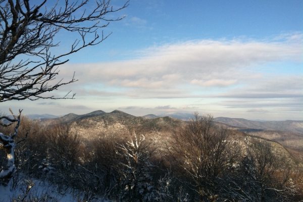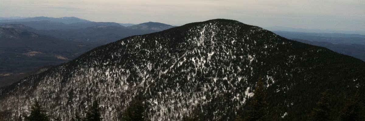
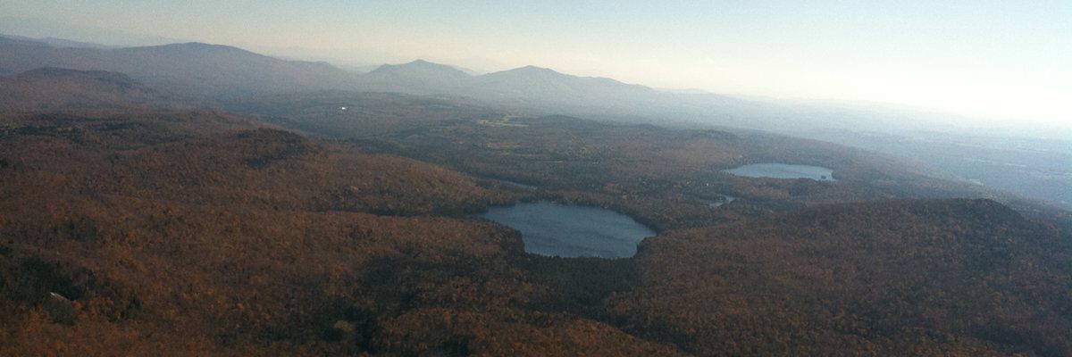


![]() The Vermont 110 are the 110 mountain peaks in Vermont above 3000′ in elevation. (five above 4000′, 105 above 3000′). Those who climb all 110 mountains can email us your completion date, and we will mail you a patch for having completed the list. The vast majority of the 110 peaks in Vermont are on public land, or have a public land accessible route to the summit, but a few require securing proper permission to climb. Some mountains have no trail to the summit requiring you to bushwhack to reach the top. Climbing these mountains on trail and when bushwhacking the trailless mountains is difficult and requires excellent ability, safety, navigational, and hiker preparedness practices. Always climb safely and be respectful of private property and landowners.
The Vermont 110 are the 110 mountain peaks in Vermont above 3000′ in elevation. (five above 4000′, 105 above 3000′). Those who climb all 110 mountains can email us your completion date, and we will mail you a patch for having completed the list. The vast majority of the 110 peaks in Vermont are on public land, or have a public land accessible route to the summit, but a few require securing proper permission to climb. Some mountains have no trail to the summit requiring you to bushwhack to reach the top. Climbing these mountains on trail and when bushwhacking the trailless mountains is difficult and requires excellent ability, safety, navigational, and hiker preparedness practices. Always climb safely and be respectful of private property and landowners.
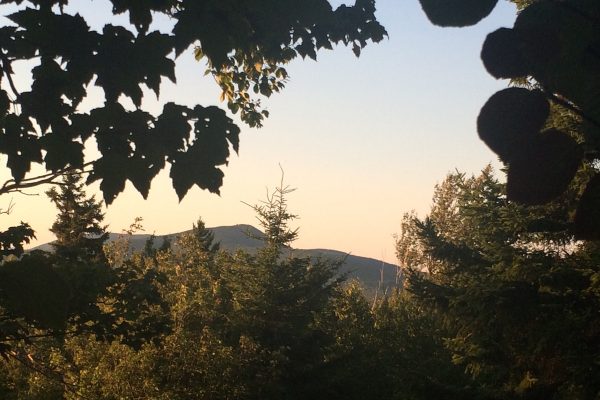
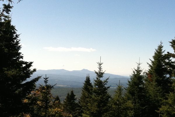
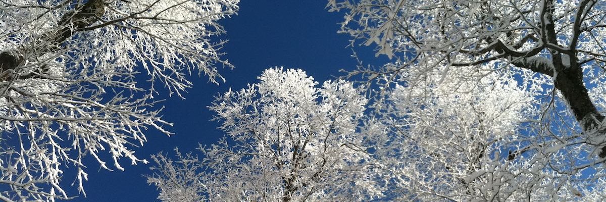
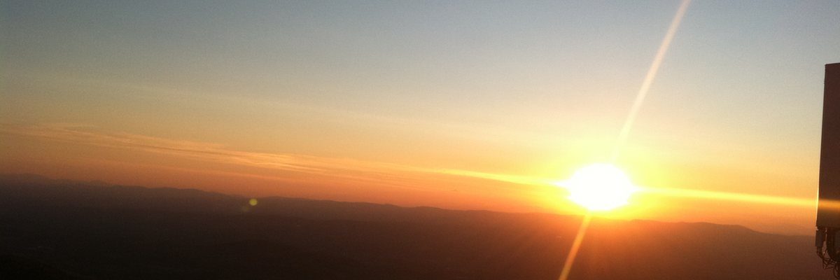
The Green Mountain State has some of the most beautiful peaks and bushwhacks anywhere–enjoy the views!
We are looking for additional photos of various Vermont mountains on the list, email: thevermont110@gmail.com if you would like to share any photos on or of the peaks on this site. Thanks!
Latest News
7/3/26 – Photo added of recent June photo of Smith Peak to its peak page. Happy summer Vermont hiking!